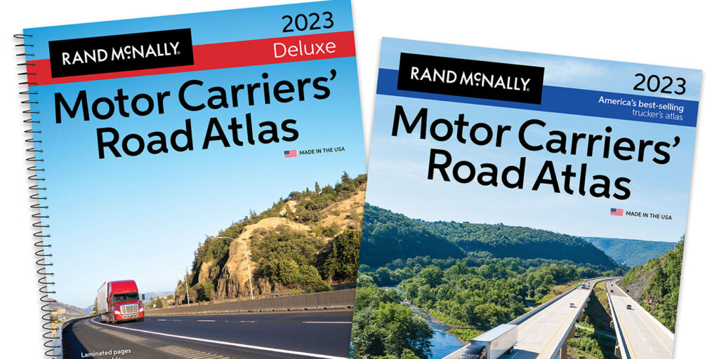
Rand McNally has recently released the new edition of its printed Motor Carriers’ Road Atlas.
Designed for professional truck drivers, the Motor Carriers’ Road Atlas has been a trusted resource in the commercial transportation community for more than 40 years. Each edition includes updated state and national truck-accessible roadways; the latest state-by-state regulations; fuel tax charts; restricted routes, and more.
The new edition, which comes in paperback as well as a spiral-bound version with write-on/wipe-off laminated pages, is available at travel centers, in bookstores, on e-commerce sites, and on the Rand McNally Store.
New Edition Updates
Each year, Rand McNally updates and enhances the atlases’ maps and contents, focused on changes that affect the professional driver. Key updates this year include:
- Amended U.S. highway route numbers and highway bypasses updated based on results from a recent meeting of the American Association of State Highway and Transportation Officials (AASHTO);
- The inclusion of mileage-based exit numbers in Conn. (Routes 9, 11, 17, and 72) and along the Hutchinson River Parkway in N.Y.;
- The extension of the Southern Parkway (UT-7) in southwestern Utah near St. George,
- The addition of Interstate 49 (Bella Vista bypass) which connects the interstate between Missouri and Arkansas;
- Revised restricted routes, low-clearance, and weigh station locations;
- An updated fuel tax chart, as well as revised state and province information including weight and size limitations, registration guidelines, and phone numbers and websites for state police and operating authorities;
- And, an updated review of Hazardous Materials (Hazmat) regulations.