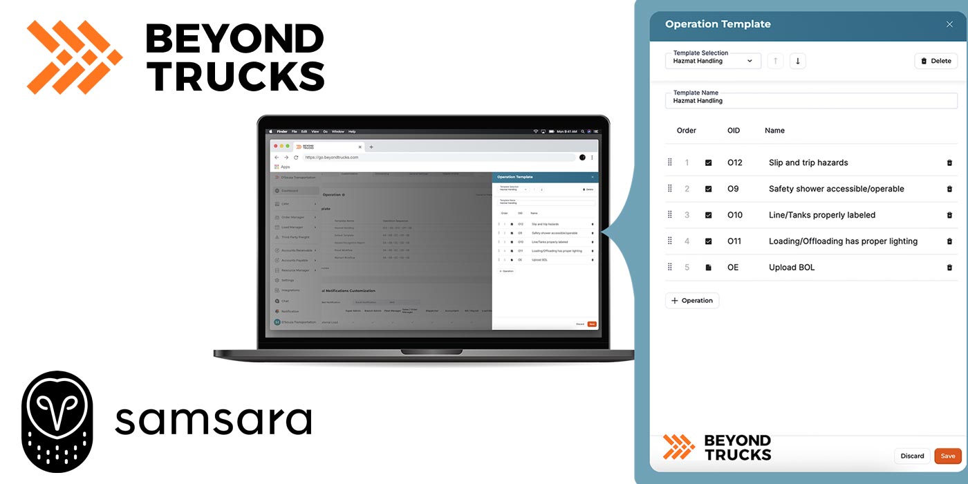
“Last mile delivery has emerged as the pivotal battleground where convenience collides with congestion. The global market for last mile delivery is poised for unprecedented growth expected to reach $137.4 billion by 2030, as consumers continue to transform the way we live, shop, and move,” writes Nate Veeh, senior business development manager at Geotab. In addition to traffic frustrations, the increased number of delivery vehicles heading to homes also contributes to increases in harmful emissions. Geotab ITS hopes to remove curbside roadblocks by using data insights from freight and commercial vehicles to improve infrastructure efficiency, sustainability, profitability and safety.
Last mile delivery stops are on the rise in cities all across the U.S., with major effects being felt in densely populated areas like Manhattan, Chicago, Phoenix and Houston. The World Economic Forum estimates that emissions from delivery traffic in the world’s 100 largest cities will surge by 32% by 2030, while traffic congestion is predicted to increase by more than 21%.
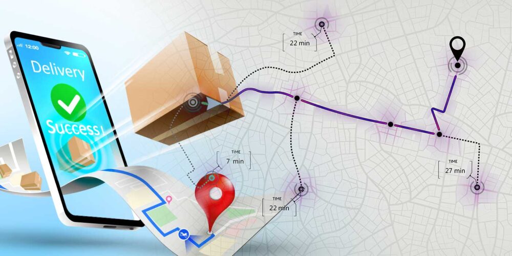
In addition to urban planning changes like loading zones, Geotab believes curbside can clear future last mile delivery roadblocks. “The Geotab ITS platform, Altitude, connects aggregate commercial vehicle insights to offer a contextualized view of an entire transportation network,” writes Veeh. “It harnesses the power of data intelligence and trusted AI to play a crucial role in route optimization and near-real-time monitoring of traffic insights, ensuring safe, reliable deliveries even in the midst of congested city streets.”