Lytx Inc. announced the rollout of its Weather Hazard Alerts, available to all clients as a project within the Lytx Lab tab in their accounts. Weather Hazard Alerts allow fleet managers the option to get notifications based on geospatial criteria and National Oceanic and Atmospheric Administration (NOAA) weather data and react to it in real time, Lytx said.
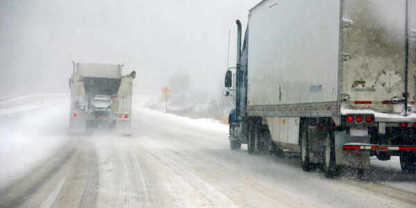
According to the U.S. Federal Highway Administration, of the roughly 5.8 million vehicle crashes each year, approximately 21% are related to adverse weather, which includes rain, sleet, snow, fog, wind, and blowing debris. Additionally, over 70% of U.S. roads are located in regions that receive more than five inches of snow annually.
Lytx’s new Weather Hazard Alerts overlays NOAA weather warnings (including snow, thunderstorms, floods, tornados, and more) onto fleet maps, allowing fleet managers to set alerts based on specific geographic, timeframe, and weather criteria and be notified as weather conditions become more severe in that particular region.
Weather Hazard Alerts can be filtered by geographic location, time frame and type of severe weather, including tornado, hurricane, flash flood and others. Once the conditions are met, an alert is automatically sent to the fleet manager with a description of the event, an image on the map, how many vehicles may be impacted, and when and where that weather event is forecast to occur. Fleet managers can also view current images from across the Lytx network to see weather conditions in real-time on specified routes.
“Weather Hazard Alerts give drivers and fleet managers another dynamic tool that can enhance overall fleet performance and driver safety,” said Dan Lambert, Lytx’s senior director of product management. “The customer feedback we’ve received during our development program has allowed us to rapidly surface key insights that ultimately create safer environments for drivers, passengers, and the public.”