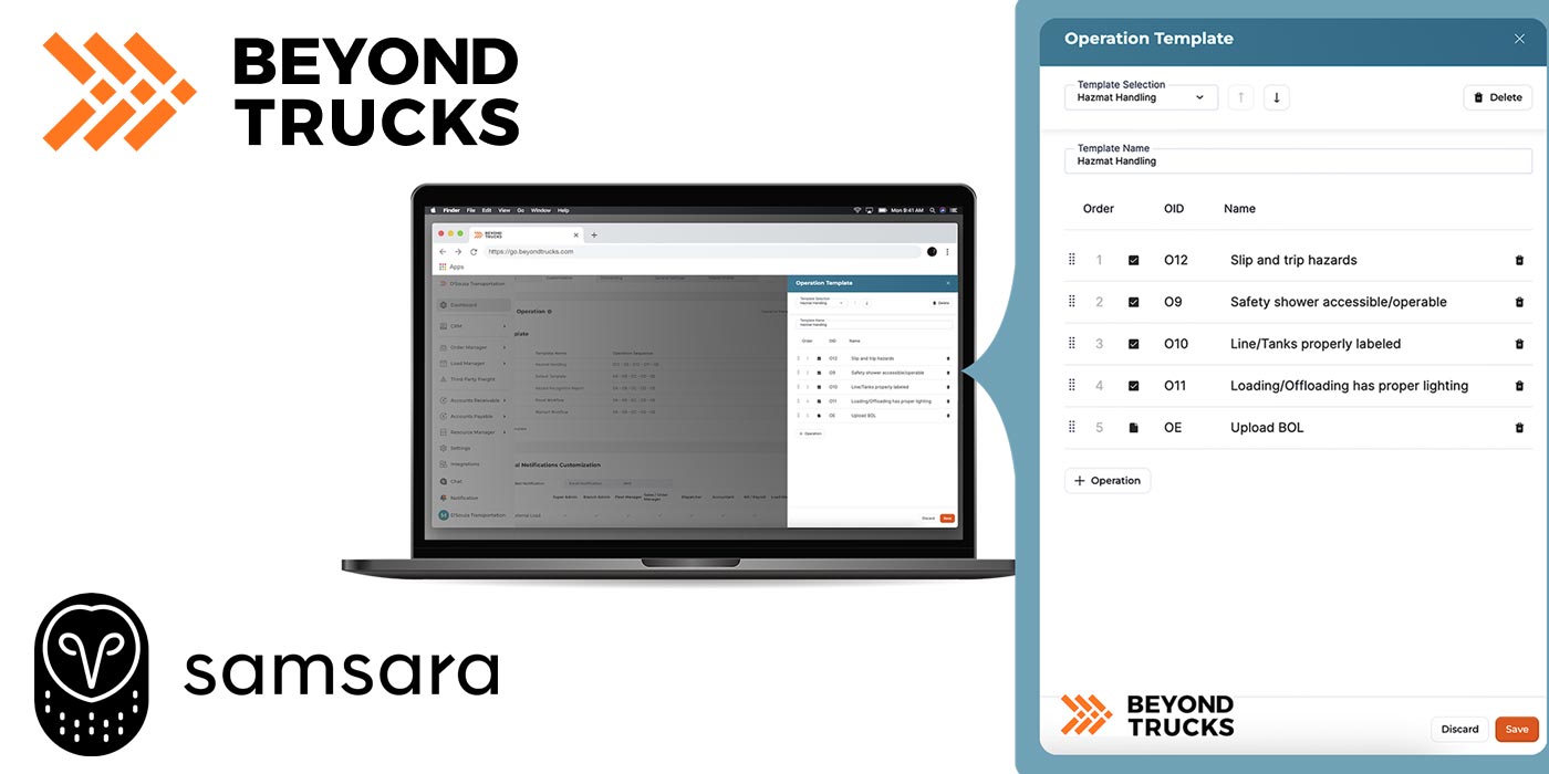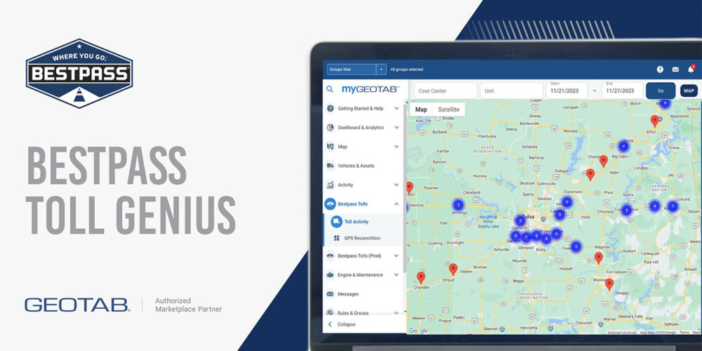
Bestpass recently announced a new integrated offering within the Geotab ecosystem that will enable Bestpass customers access to toll data and reporting tools in their Geotab account. Bestpass says that the integration will let fleets and owner operators gain new insight into toll activity to more effectively manage tolls and identify opportunities to reduce toll expenses.
According to David Long, head of product management at Bestpass, the company developed its Toll Genius data reporting system to integrate with telematics providers such as Geotab, to enable Bestpass to synchronize and share toll and telematics data through a single interface.
Bestpass explains that with this integration, customers can leverage vehicle data and GPS location through Geotab and match that information with toll charges received from their Bestpass account via the MyGeotab interface. If there’s a discrepancy between vehicle GPS location and the toll a vehicle received, it’s reported. According to Bestpass, this feature makes it easier for customers to identify and investigate the issue, dispute an inaccurate charge or violation and reduces the risk of toll disputes with drivers and customers.
Bestpass tells us the integration also has a new toll activity reporting feature that shows a high-level heat map that allows fleets to identify hot spots for toll spend.
“This information can help fleets leverage the toll data to optimize routes and avoid costly tolls,” said Long. “Fleets and owner operators using Bestpass can also monitor all toll transactions and expenses in real-time, easily ensure necessary transponder coverage across your fleet, identify fraudulent activity, and more through their account.”