The 2016 edition of Rand McNally’s Motor Carriers’ Road Atlas has been released. The Rand McNally Motor Carriers’ Road Atlas has been updated and released annually since the first 1982 edition.
Upgrades and new additions for the new atlas include:
- Updated U.S. state and Canadian province maps;
- Revised “designated” highways showing the latest truck roadways as specified by the Surface Transportation Assistance Act (STAA);
- Updated restricted routes, low clearances, and weigh station locations;
- A 22-page mileage directory with more than 40,000 truck-route-specific, city-to-city mileages; and
- A review of Hazardous Materials Regulations.
Fully updated state and province charts including more than 500 changes to truck-specific state contacts – such as operating authority contacts, emergency police, and vehicle registration. The section also includes road construction and conditions hotlines.
“The Motor Carriers’ Road Atlas continues to be the trusted reference and essential back-up for commercial drivers. Even in this day of electronic in-cab navigation, the large printed format is the best tool to see the big picture and quickly access state and province restrictions,” said Stephen Fletcher, chief executive officer of Rand McNally. “We simplify drivers lives by cross referencing the atlas pages and content to the software on our award-winning IntelliRoute TND truck-specific GPS devices and the new TND Tablet.”
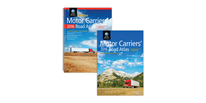
The Motor Carriers’ Road Atlas is available in paperback; in a spiral-bound, laminated Deluxe version; and a Large Scale edition with maps that are 37% larger printed on laminated pages plus a tough spiral binding for stay-flat pages.